
Explore Cape Coral by water
400+ miles of canals
One city. Endless ways out.
Cape Coral isn’t just a city on the water. The water runs through it. Your canal connects you to a much bigger world.
Explore the waterways →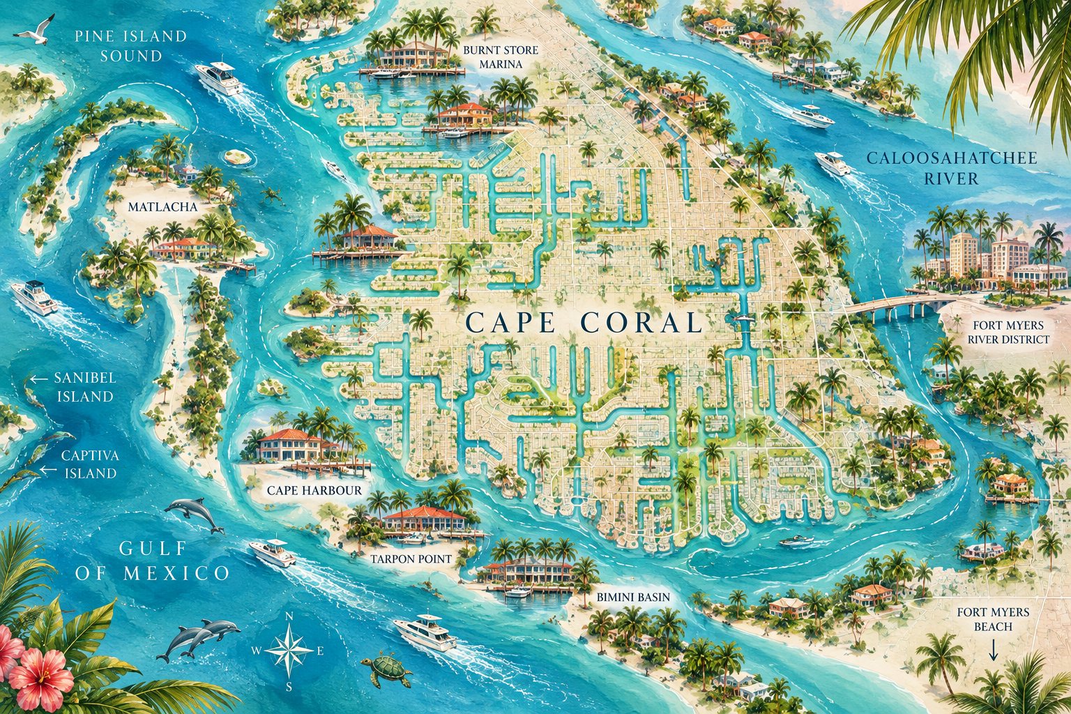
Start exploring
Pick a kind of day and WTR opens the map with just those spots.
Follow Cape Coral’s waterways toward the river, the bays and the Gulf.
Open the map → 🎣Fishing spots, access points and places to stop along the way.
Explore → 🍹Restaurants and bars you can reach by boat.
Explore → 🏝️Places to anchor, swim, beach and spend the afternoon.
Explore → ⛽Fuel, docks, ramps and essential boating stops.
Explore → 🌿Parks, wildlife and places worth slowing down for.
Explore →WTR boat time
Your neighborhood is the beginning of the adventure.
Stand on your dock (or tap below from anywhere along a saltwater canal) and WTR finds a path through the connected water and estimates the trip. Nothing is hard-coded to any trip.
Estimates, not navigation. Boat times follow connected saltwater canals and the river, with idle speed in canals and a cruise speed on open water. Actual time varies with your vessel, no-wake zones, bridges, traffic, weather and water conditions. Verify current charts, bridges and depths before you run any route. Freshwater canals (much of north Cape Coral) aren’t covered yet, and destination dock points are approximate.
Cape Coral by water
Live music and happy hours at waterfront spots with a dock or boat access.
See what’s on → 🎉The WTR Weekend: events, races, parades and more you can boat to.
Plan your weekend → ⚓Marinas, boat ramps, public docks and fuel across the Cape and beyond.
Find a marina →